
抚北工业园区 topographic map
Interactive map
Click on the map to display elevation.
About this map
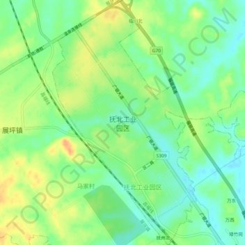
Name: 抚北工业园区 topographic map, elevation, terrain.
Location: 抚北工业园区, 临川区, 抚州市, 江西省, 中国 (28.00783 116.26590 28.04821 116.29278)
Average elevation: 157 ft
Minimum elevation: 102 ft
Maximum elevation: 223 ft
Other topographic maps
Click on a map to view its topography, its elevation and its terrain.