
南昌县 topographic map
Interactive map
Click on the map to display elevation.
About this map
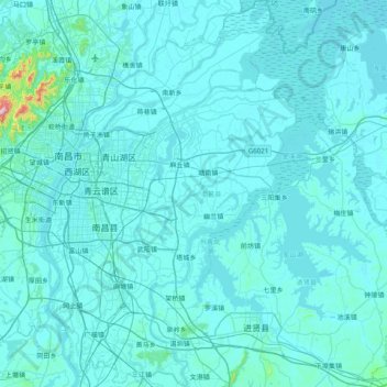
Name: 南昌县 topographic map, elevation, terrain.
Location: 南昌县, 南昌市, 江西省, 中国 (28.27251 115.80560 28.96471 116.31902)
Average elevation: 92 ft
Minimum elevation: 26 ft
Maximum elevation: 2,320 ft
Other topographic maps
Click on a map to view its topography, its elevation and its terrain.