
旬阳市 topographic map
Interactive map
Click on the map to display elevation.
About this map
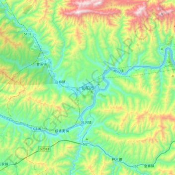
Name: 旬阳市 topographic map, elevation, terrain.
Location: 旬阳市, 安康市, 陕西省, 中国 (32.67395 109.19558 32.99395 109.51558)
Average elevation: 2,280 ft
Minimum elevation: 653 ft
Maximum elevation: 6,414 ft
Other topographic maps
Click on a map to view its topography, its elevation and its terrain.