
铁山区 topographic map
Interactive map
Click on the map to display elevation.
About this map
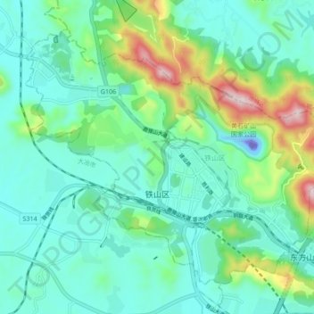
Name: 铁山区 topographic map, elevation, terrain.
Location: 铁山区, 黄石市, 湖北省, 435000, 中国 (30.18443 114.85109 30.24376 114.93561)
Average elevation: 341 ft
Minimum elevation: -463 ft
Maximum elevation: 1,509 ft
Other topographic maps
Click on a map to view its topography, its elevation and its terrain.