
蕲春县 topographic map
Interactive map
Click on the map to display elevation.
About this map
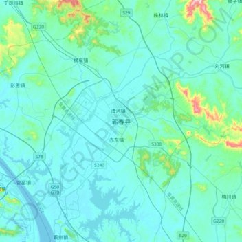
Name: 蕲春县 topographic map, elevation, terrain.
Location: 蕲春县, 黄冈市, 湖北省, 中国 (30.06865 115.27092 30.38865 115.59092)
Average elevation: 190 ft
Minimum elevation: 30 ft
Maximum elevation: 1,683 ft
Other topographic maps
Click on a map to view its topography, its elevation and its terrain.