
杨村街道 topographic map
Interactive map
Click on the map to display elevation.
About this map
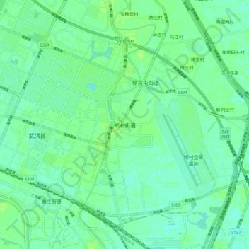
Name: 杨村街道 topographic map, elevation, terrain.
Location: 杨村街道, 天津市, 301700, 中国 (39.34258 117.02985 39.42258 117.10985)
Average elevation: 23 ft
Minimum elevation: 7 ft
Maximum elevation: 39 ft
Other topographic maps
Click on a map to view its topography, its elevation and its terrain.