
鱼市庄村 topographic map
Interactive map
Click on the map to display elevation.
About this map
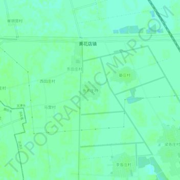
Name: 鱼市庄村 topographic map, elevation, terrain.
Location: 鱼市庄村, 天津市, 中国 (39.32106 116.88303 39.36106 116.92303)
Average elevation: 36 ft
Minimum elevation: 20 ft
Maximum elevation: 43 ft
Other topographic maps
Click on a map to view its topography, its elevation and its terrain.