
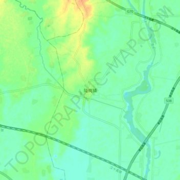
陡岗镇 topographic map
Interactive map
Click on the map to display elevation.
About this map
Name: 陡岗镇 topographic map, elevation, terrain.
Location: 陡岗镇, 孝南区, 孝感市, 湖北省, 中国 (31.00025 113.81094 31.08025 113.89094)
Average elevation: 98 ft
Minimum elevation: 62 ft
Maximum elevation: 177 ft
Other topographic maps
Click on a map to view its topography, its elevation and its terrain.