
太阳山镇 topographic map
Interactive map
Click on the map to display elevation.
About this map
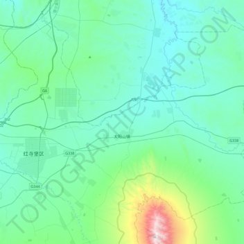
Name: 太阳山镇 topographic map, elevation, terrain.
Location: 太阳山镇, 红寺堡区, 吴忠市, 宁夏回族自治区, 中国 (37.32850 106.12954 37.61186 106.57526)
Average elevation: 4,613 ft
Minimum elevation: 3,950 ft
Maximum elevation: 8,566 ft
Other topographic maps
Click on a map to view its topography, its elevation and its terrain.