
彭阳县 topographic map
Interactive map
Click on the map to display elevation.
About this map
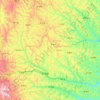
Name: 彭阳县 topographic map, elevation, terrain.
Location: 彭阳县, 固原市, 宁夏回族自治区, 中国 (35.68967 106.25956 36.29617 106.95366)
Average elevation: 5,423 ft
Minimum elevation: 4,065 ft
Maximum elevation: 8,084 ft
Other topographic maps
Click on a map to view its topography, its elevation and its terrain.