
林芝镇 topographic map
Interactive map
Click on the map to display elevation.
About this map
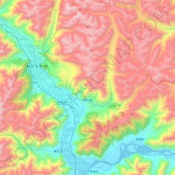
Name: 林芝镇 topographic map, elevation, terrain.
Location: 林芝镇, 巴宜区, 林芝市, 西藏自治区, 中国 (29.41949 94.41067 29.78828 94.65403)
Average elevation: 12,874 ft
Minimum elevation: 9,564 ft
Maximum elevation: 16,890 ft
Other topographic maps
Click on a map to view its topography, its elevation and its terrain.