
Bjørnafjorden topographic map
Interactive map
Click on the map to display elevation.
About this map
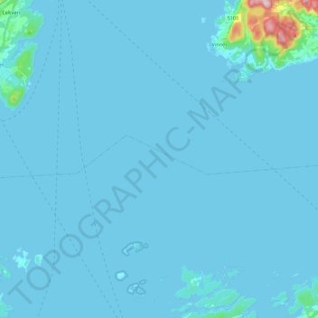
Name: Bjørnafjorden topographic map, elevation, terrain.
Location: Bjørnafjorden, Vestland, Norway (60.08206 5.43084 60.15006 5.64919)
Average elevation: 30 ft
Minimum elevation: -20 ft
Maximum elevation: 961 ft
Other topographic maps
Click on a map to view its topography, its elevation and its terrain.
Vinjane
Norway > Vestland > Aurlandsvangen
Vinjane, Aurlandsvangen, Aurland, Vestland, 5745, Norway
Average elevation: 758 ft
Strandebarm
Strandebarm, Kvam herad, Vestland, 5630, Norway
Average elevation: 594 ft