
汉坪村 topographic map
Interactive map
Click on the map to display elevation.
About this map
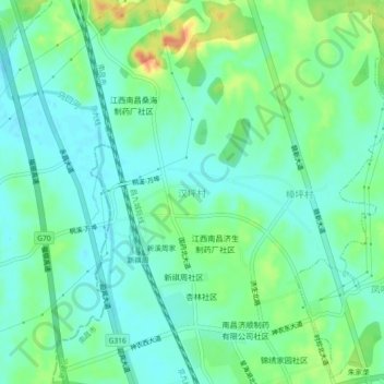
Name: 汉坪村 topographic map, elevation, terrain.
Location: 汉坪村, 新建区, 南昌市, 江西省, 中国 (28.93410 115.80983 28.97410 115.84983)
Average elevation: 98 ft
Minimum elevation: 49 ft
Maximum elevation: 210 ft
Other topographic maps
Click on a map to view its topography, its elevation and its terrain.