
东风村 topographic map
Interactive map
Click on the map to display elevation.
About this map
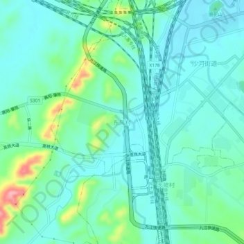
Name: 东风村 topographic map, elevation, terrain.
Location: 东风村, 柴桑区, 江西省, 中国 (29.58754 115.84932 29.62754 115.88932)
Average elevation: 141 ft
Minimum elevation: 49 ft
Maximum elevation: 482 ft
Other topographic maps
Click on a map to view its topography, its elevation and its terrain.