
鄱阳县 topographic map
Interactive map
Click on the map to display elevation.
About this map
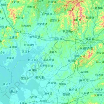
Name: 鄱阳县 topographic map, elevation, terrain.
Location: 鄱阳县, 上饶市, 江西省, 333100, 中国 (28.76558 116.39540 29.70183 117.08828)
Average elevation: 226 ft
Minimum elevation: 23 ft
Maximum elevation: 2,713 ft
Other topographic maps
Click on a map to view its topography, its elevation and its terrain.