
天峻县 topographic map
Interactive map
Click on the map to display elevation.
About this map
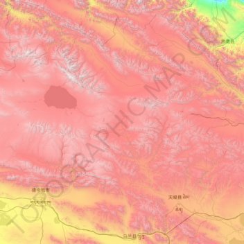
Name: 天峻县 topographic map, elevation, terrain.
Location: 天峻县, 海西蒙古族藏族自治州, 青海省, 817200, 中国 (36.90900 96.93485 39.21423 99.69190)
Average elevation: 12,769 ft
Minimum elevation: 5,997 ft
Maximum elevation: 18,678 ft
Other topographic maps
Click on a map to view its topography, its elevation and its terrain.