
城中区 topographic map
Interactive map
Click on the map to display elevation.
About this map
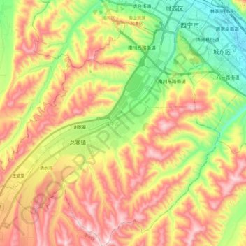
Name: 城中区 topographic map, elevation, terrain.
Location: 城中区, 西宁市, 青海省, 810000, 中国 (36.47257 101.61535 36.63333 101.80097)
Average elevation: 8,199 ft
Minimum elevation: 7,231 ft
Maximum elevation: 9,272 ft
Other topographic maps
Click on a map to view its topography, its elevation and its terrain.