
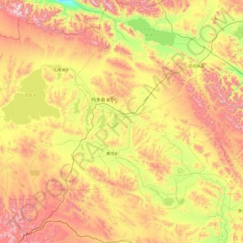
玛多县 topographic map
Interactive map
Click on the map to display elevation.
About this map
Name: 玛多县 topographic map, elevation, terrain.
Location: 玛多县, 果洛藏族自治州, 青海省, 中国 (34.08155 97.63431 35.48155 99.03431)
Average elevation: 14,436 ft
Minimum elevation: 12,523 ft
Maximum elevation: 17,484 ft
Other topographic maps
Click on a map to view its topography, its elevation and its terrain.