
黑林社区 topographic map
Interactive map
Click on the map to display elevation.
About this map
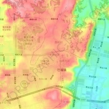
Name: 黑林社区 topographic map, elevation, terrain.
Location: 黑林社区, 江津区, 重庆市, 中国 (29.39694 106.30294 29.43694 106.34294)
Average elevation: 1,204 ft
Minimum elevation: 932 ft
Maximum elevation: 1,398 ft
Other topographic maps
Click on a map to view its topography, its elevation and its terrain.