
龙河镇 topographic map
Interactive map
Click on the map to display elevation.
About this map
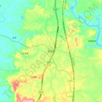
Name: 龙河镇 topographic map, elevation, terrain.
Location: 龙河镇, 长寿区, 重庆市, 中国 (29.97532 107.14067 30.05532 107.22067)
Average elevation: 1,276 ft
Minimum elevation: 1,056 ft
Maximum elevation: 1,663 ft
Other topographic maps
Click on a map to view its topography, its elevation and its terrain.