
九龙坡区 topographic map
Interactive map
Click on the map to display elevation.
About this map
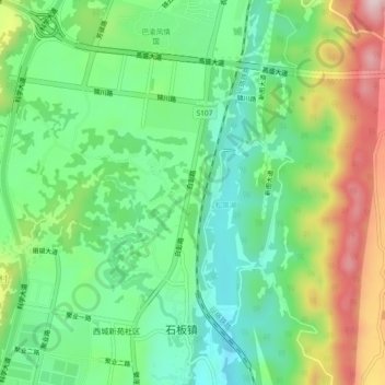
Name: 九龙坡区 topographic map, elevation, terrain.
Location: 九龙坡区, 重庆市, 中国 (29.41604 106.34034 29.45604 106.38034)
Average elevation: 1,102 ft
Minimum elevation: 686 ft
Maximum elevation: 1,857 ft
Other topographic maps
Click on a map to view its topography, its elevation and its terrain.