
重庆市主城都市区 topographic map
Interactive map
Click on the map to display elevation.
About this map
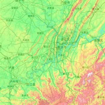
Name: 重庆市主城都市区 topographic map, elevation, terrain.
Location: 重庆市主城都市区, 重庆市, 中国 (28.45381 105.28683 30.43943 107.71439)
Average elevation: 1,670 ft
Minimum elevation: 430 ft
Maximum elevation: 7,188 ft
Other topographic maps
Click on a map to view its topography, its elevation and its terrain.