
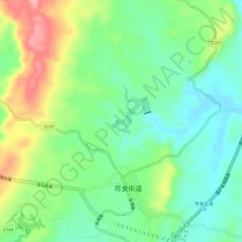
松花 topographic map
Interactive map
Click on the map to display elevation.
About this map
Name: 松花 topographic map, elevation, terrain.
Location: 松花, 永川区, 重庆市, 中国 (29.30563 105.97094 29.34563 106.01094)
Average elevation: 1,106 ft
Minimum elevation: 965 ft
Maximum elevation: 1,362 ft
Other topographic maps
Click on a map to view its topography, its elevation and its terrain.