
石龙镇 topographic map
Interactive map
Click on the map to display elevation.
About this map
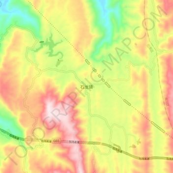
Name: 石龙镇 topographic map, elevation, terrain.
Location: 石龙镇, 巴南区, 重庆市, 中国 (29.24752 106.84726 29.32752 106.92726)
Average elevation: 1,982 ft
Minimum elevation: 942 ft
Maximum elevation: 2,943 ft
Other topographic maps
Click on a map to view its topography, its elevation and its terrain.