
南沱镇 topographic map
Interactive map
Click on the map to display elevation.
About this map
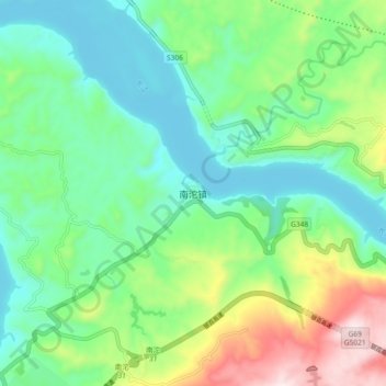
Name: 南沱镇 topographic map, elevation, terrain.
Location: 南沱镇, 涪陵区, 重庆市, 中国 (29.81592 107.48766 29.89592 107.56766)
Average elevation: 948 ft
Minimum elevation: 427 ft
Maximum elevation: 2,205 ft
Other topographic maps
Click on a map to view its topography, its elevation and its terrain.