
中峰镇 topographic map
Interactive map
Click on the map to display elevation.
About this map
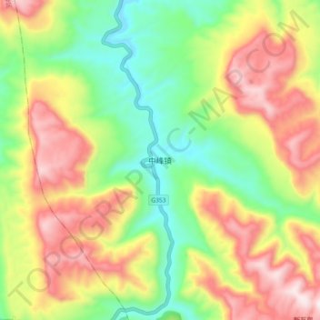
Name: 中峰镇 topographic map, elevation, terrain.
Location: 中峰镇, 綦江区, 重庆市, 中国 (28.85980 106.40400 28.93980 106.48400)
Average elevation: 2,402 ft
Minimum elevation: 1,365 ft
Maximum elevation: 3,668 ft
Other topographic maps
Click on a map to view its topography, its elevation and its terrain.